Sgt John William Welsh
Tokyo Military Prison Fire
The Latimer Crew
Page 2
|
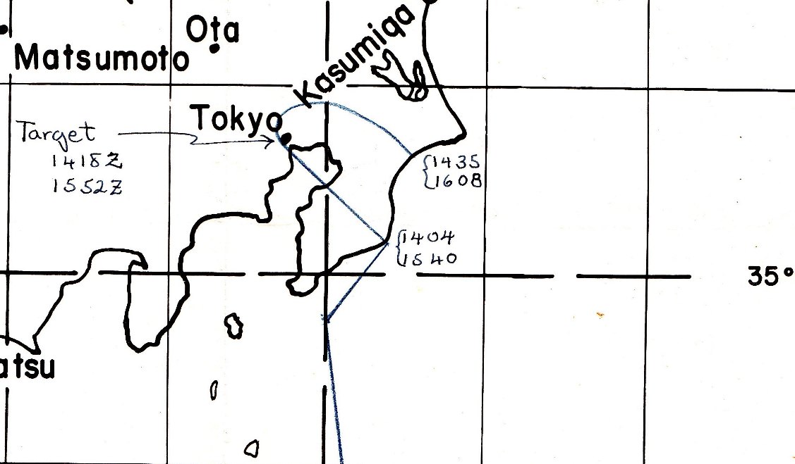
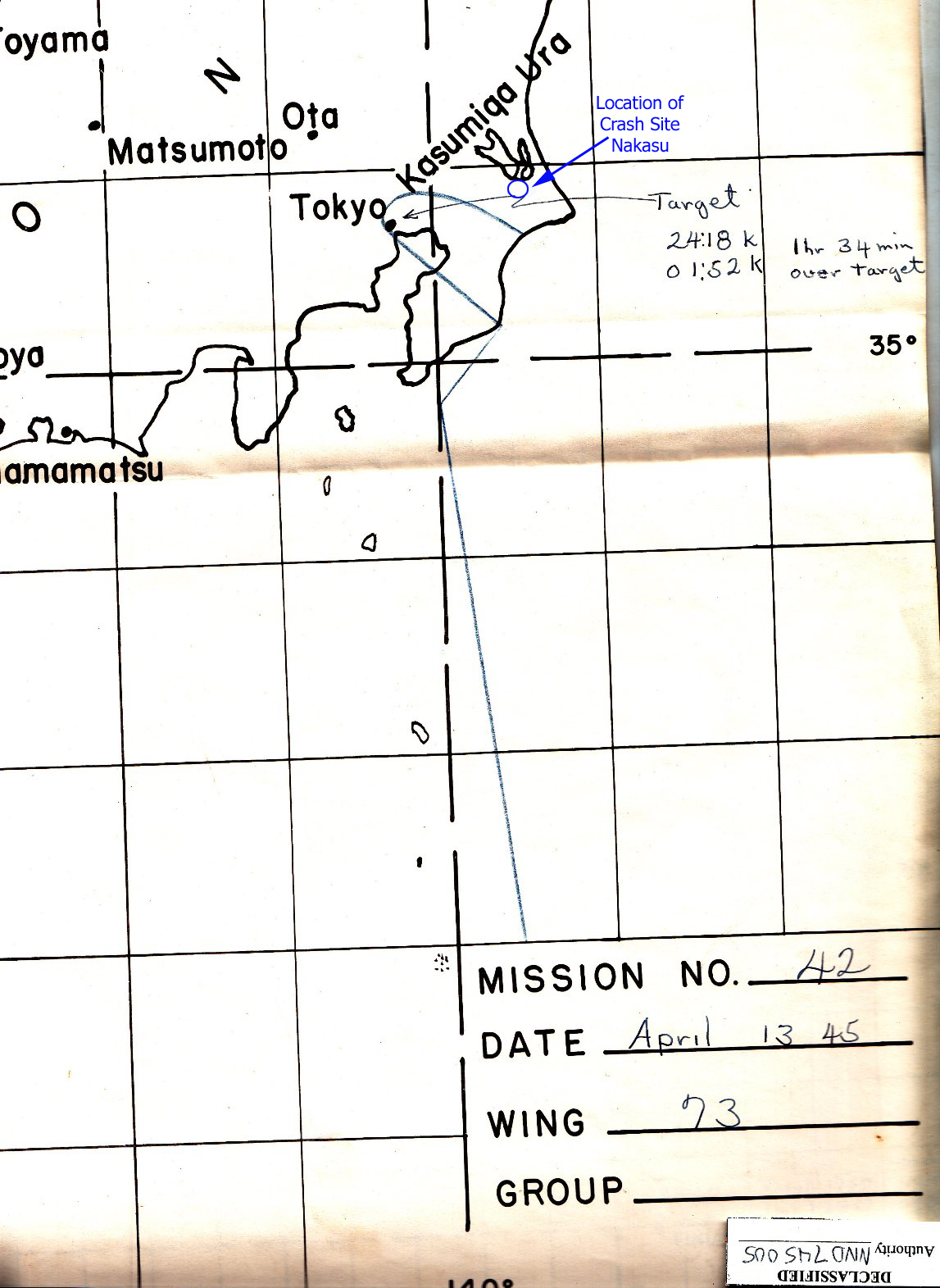
Two of the maps and one of the charts in this page show The first navigation chart shows the track the A full size, 8 MB version, is in |
|
NAVIGATION CHART
source: 73rd Bomb Wing Mission 43 Report |
|
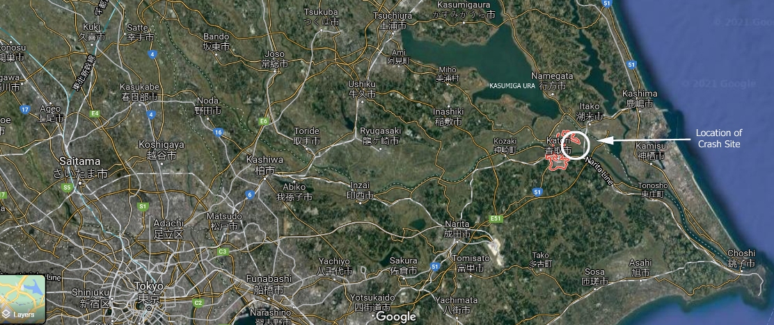
GENERAL AREA OF CRASH SITE
source: 73rd Bomb Wing Mission 43 Report |
|
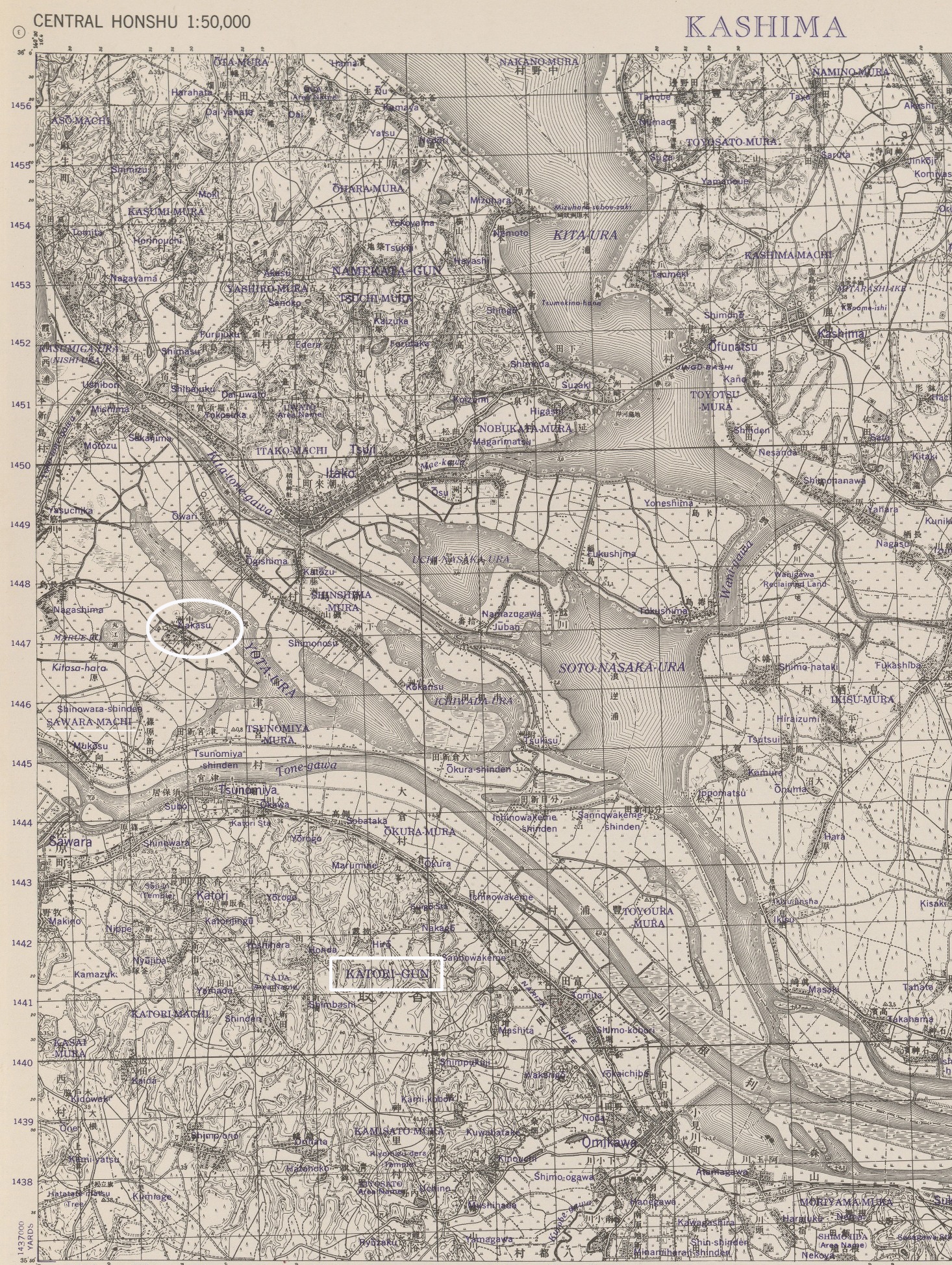
U.S ARMY MAP
|