SSgt Algy Stanley Augunas
Osaka

Fitzgerald Crew
Page 4

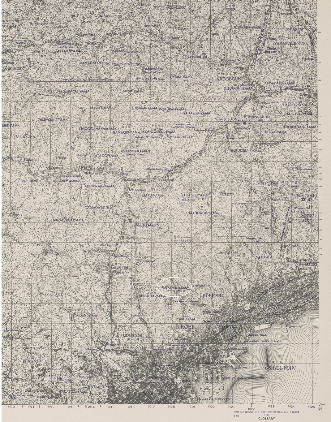
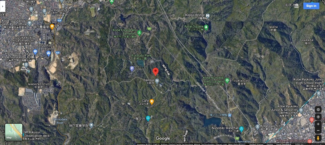
Below are three maps of the Kobe area and the location
where Z-8 crashed. This was in the vicinity of Mount Futatabi

The first is a topographical map from the
Perry Castaneda Map Collection at the University of Texas.

Next is a satellite view from Google Maps followed by a hand drawn map from
Rich Cookson's collection at his web site to honor his Uncle Robert Cookson.


ARMY MAP SERVICE SERIES L775
MAP 5151-III
KOBE

MOUNT FUTATABI IS CIRCLED
WITH WHITE OVAL


source: Perry Castaneda Map Collection
University of Texas, Austin

BACK TO TOP

SATELLITE VIEW


source: Google Maps

BACK TO TOP

MAP DRAWN BY PERSON WHO WAS IN
THE CIVILIAN INTERMENT CAMP


source : Rich Cookson

BACK TO TOP