Capt
Elmer Glenn Hahn
Tokyo Military Prison Fire
73rd Bomb Mission
#22
Page 3
|
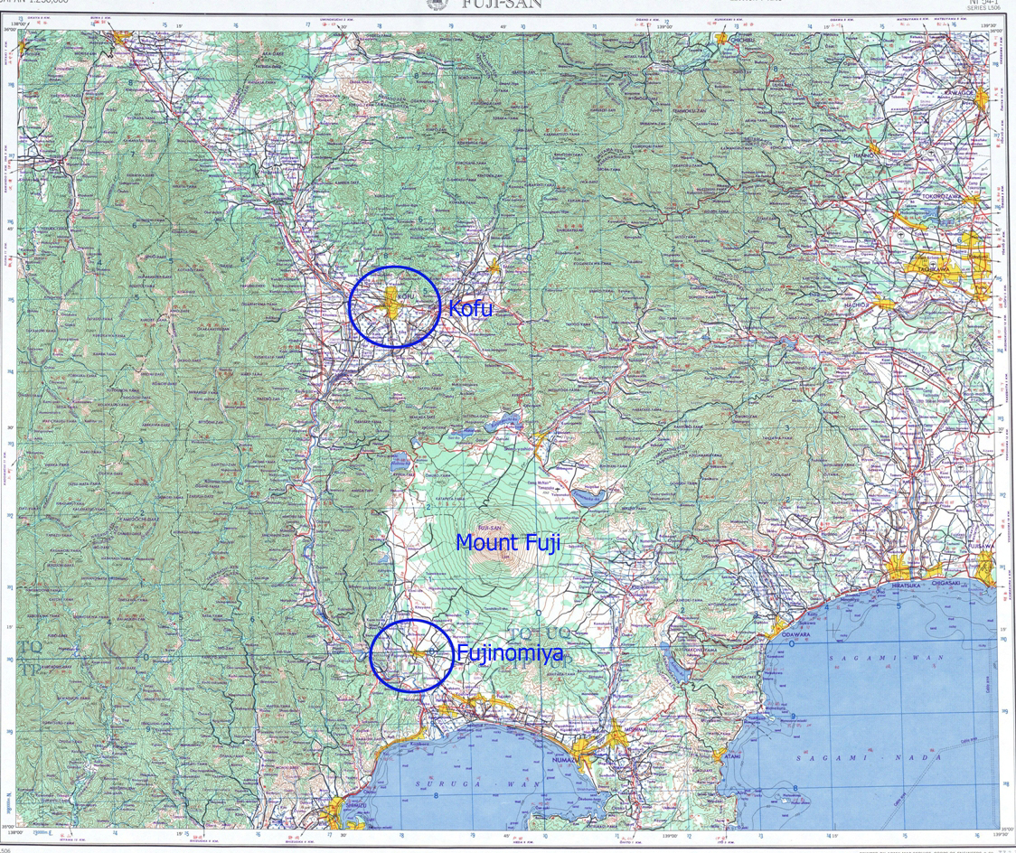
Below are three maps: The larger map shows the track from Saipan to Japan and back. Third is the area where Capt Hahn's was B-29 lost |
|
APPROXIMATE LOCATION OF B-29 LOSS
|