SSgt Howard Russell Woleslagle
Osaka Castle

Recovery
Page 2

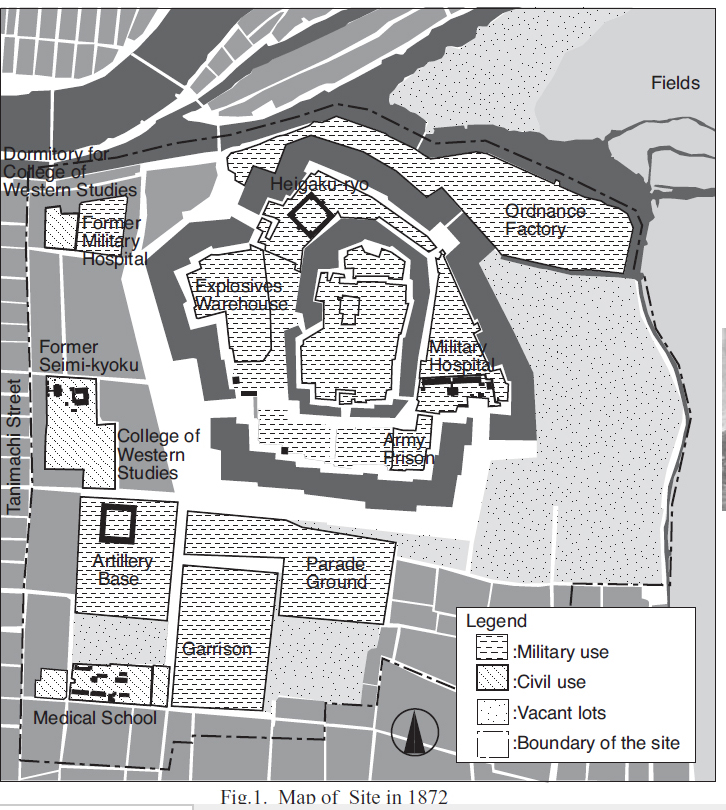
The first map shows the layout of Osaka Castle in 1872.

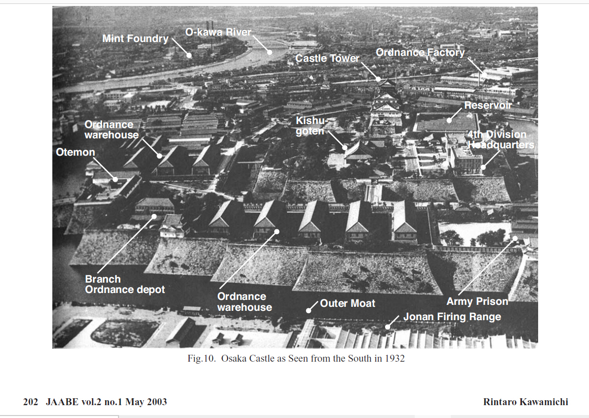
Next is an aerial photo from 1932.
The Jonan Firing Range is in the lower right corner.

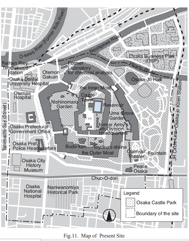
The second map shows the Castle in 2003.

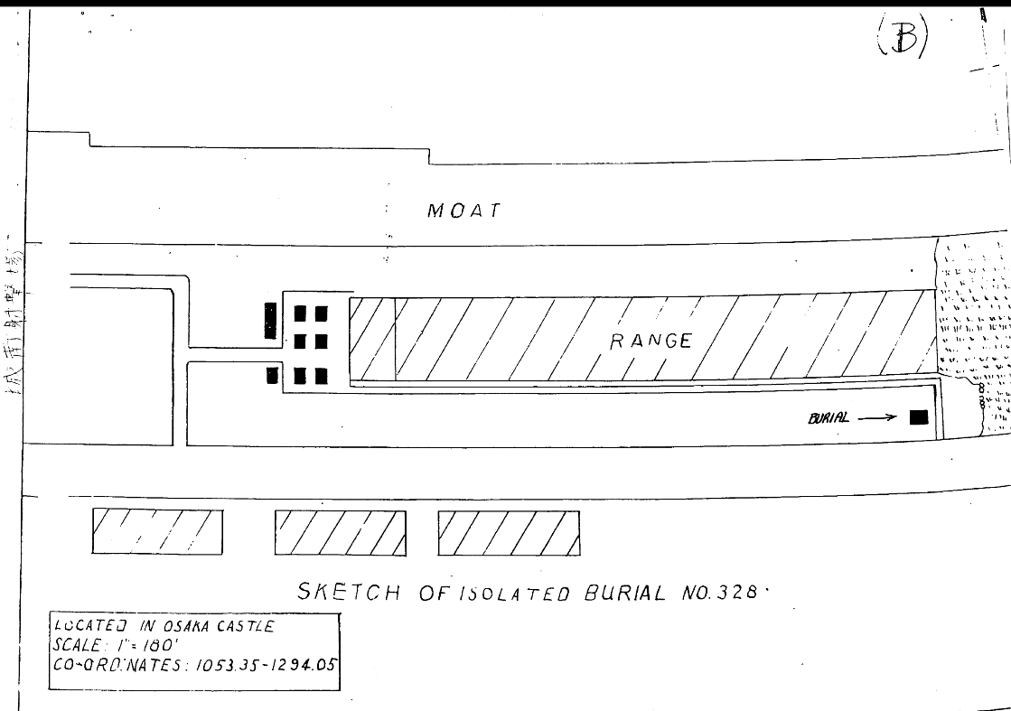
This is followed by a sketch of the Jonan Firing Range
with the burial sites at the middle right side.

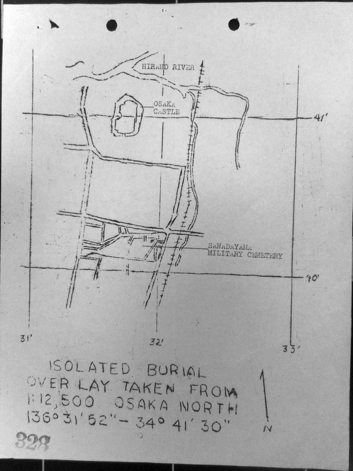
At the bottom is a sketch showing the locations of
Osaka Castle and the Sanadayama Military Cemetery.


BACK TO TOP


OSAKA CASTLE
1872


BACK TO TOP

OSAKA CASTLE
1932


BACK TO TOP

OSAKA CASTLE
CURRENT SITE


BACK TO TOP

JONAN FIRING RANGE
AND
BURIAL SITE


BACK TO TOP

OSAKA CASTLE
AND
SANADAYAMA MILITARY CEMETERY


BACK TO TOP