Sgt Charles Richard Weiser
Ongata Village
73rd Bomb Wing Mission No.26
Page 4
|
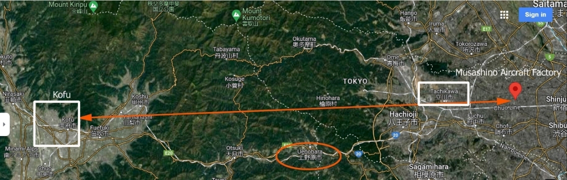
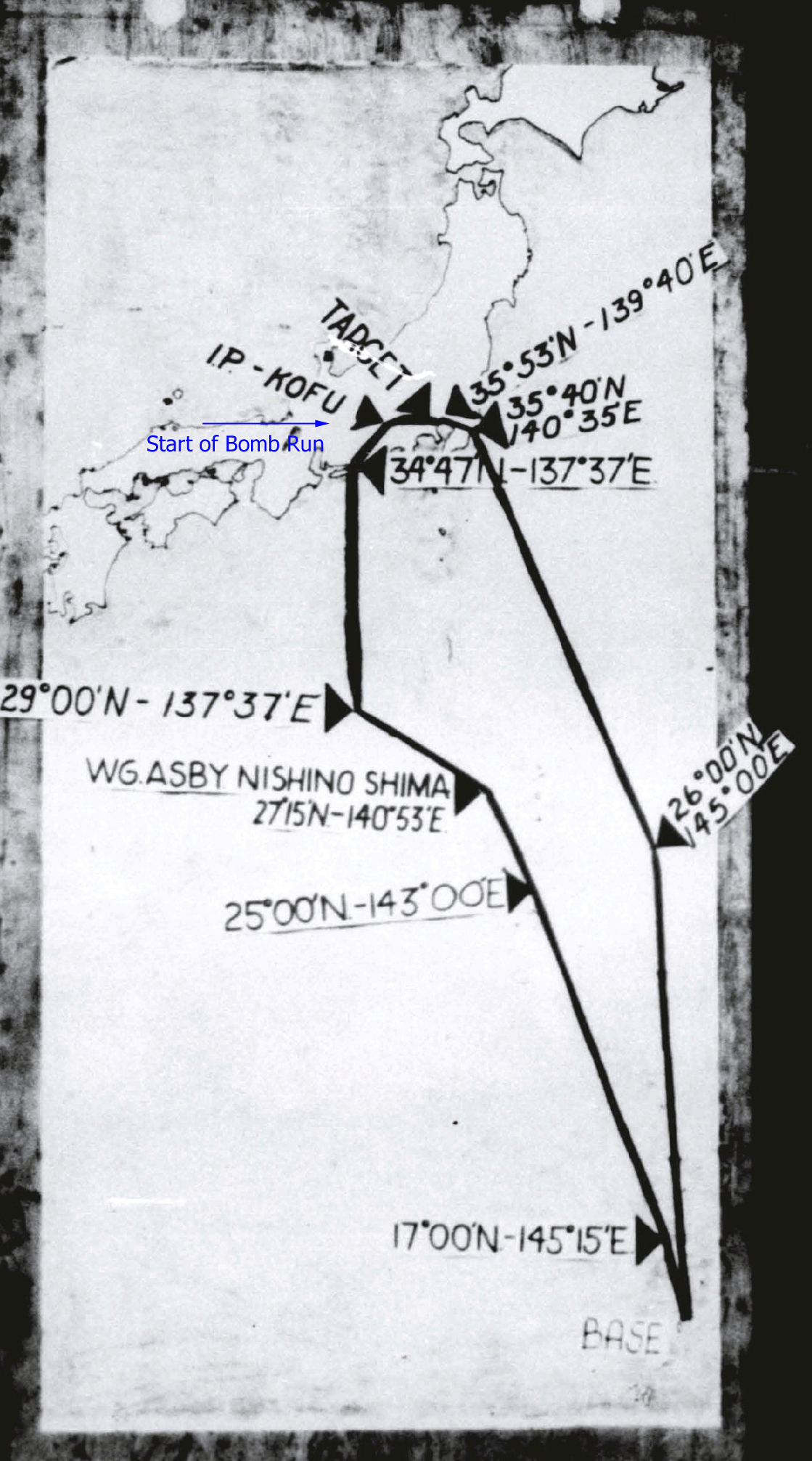
Maps and Navigation The first map shows the planned track from Kofu ( Initial Point )
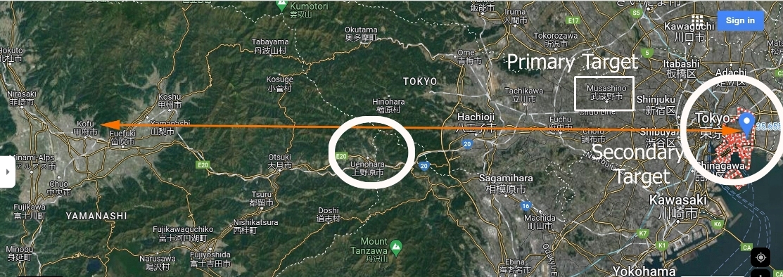
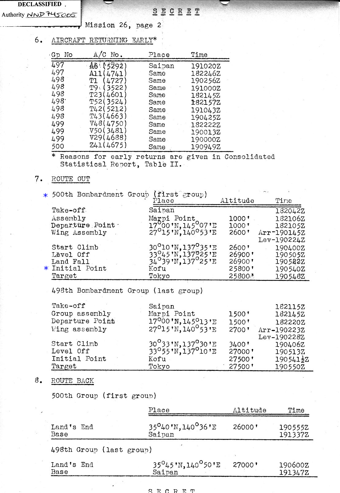
This is shown in the second map. This is followed by a track with coordinates of |
|
PLANNED TRACK FROM
source: Google Maps |
|
TRACK FROM KOFU source: Google Maps |
|
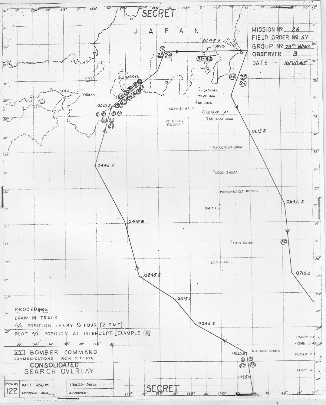
RADAR COUNTERMEASURE PARTIAL TRACK
|
|
|
|
CLOSE-IN NAVIGATION CHART
source : Air Force Historical Research Agency REEL B0668 |
|
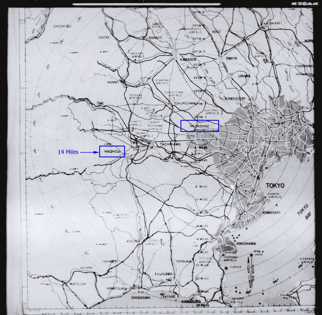
MAP OF PRIMARY TARGET ( MUSASHINO ) WITH RADIAL DISTANCES
FROM TARGET
source : Air Force Historical Research Agency REEL B0668 |