Sgt Charles Richard Weiser
Ongata Village
Samuelson Crew
Page 8
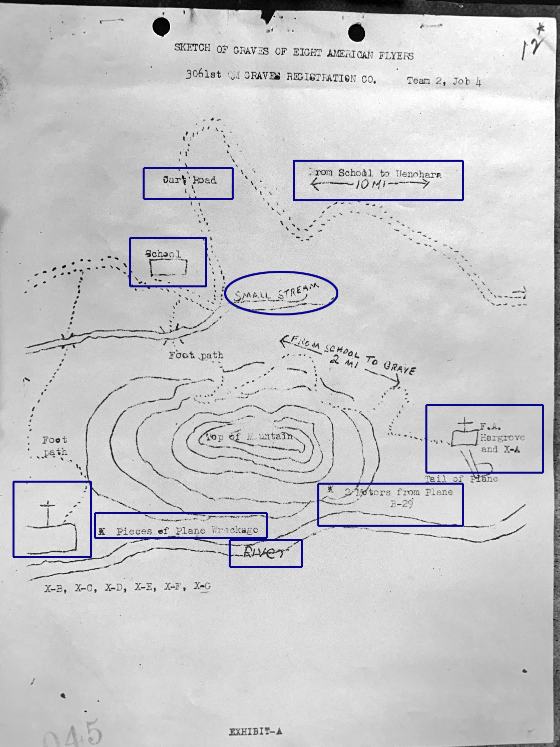
Maps and a Sketch
|
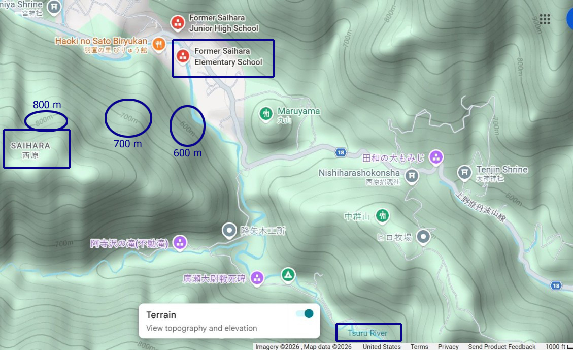
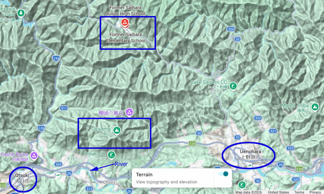
The sketch drawn by the recovery team Ogiyama Following the sketch are five Google Maps. Next are three topography maps. The Sagami River flows beneath the At the bottom of the page a is |
|
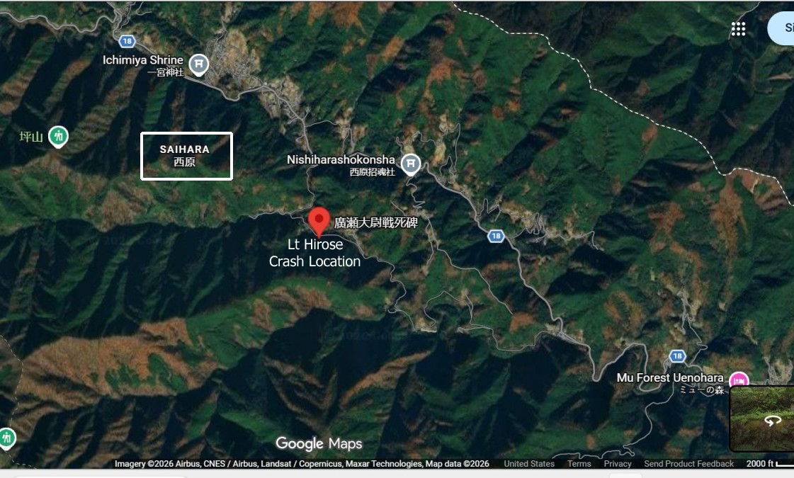
LT HIROSE CRASH LOCATION source : Google Maps |
|
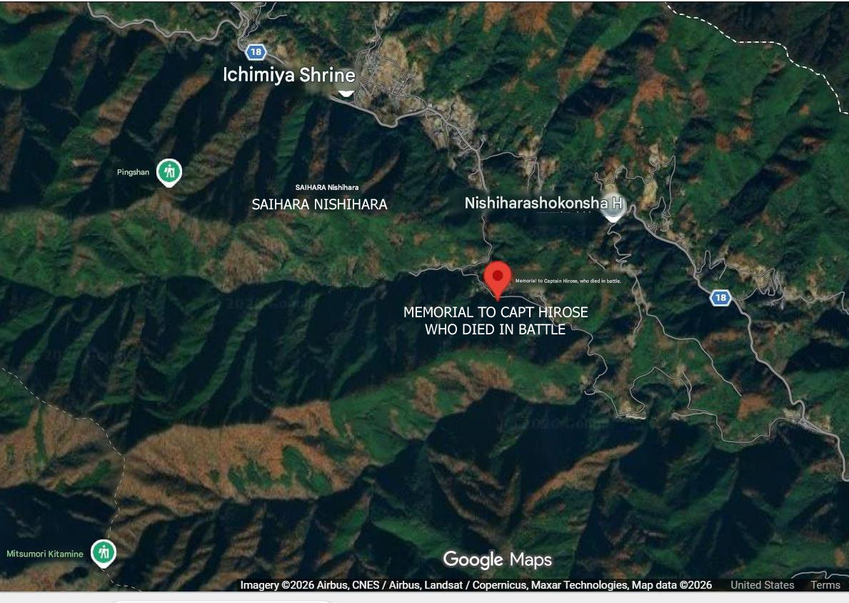
CLOSER IN VIEW OF ABOVE
source : Google Maps |
|
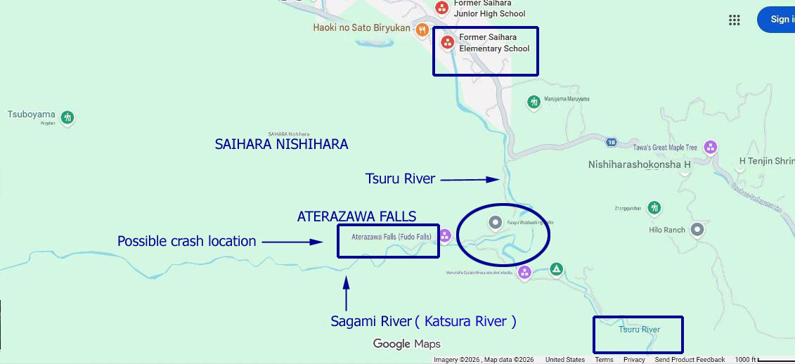
POSSIBLE LOCATION WHERE B-29 CRASHED
source : Google Maps |
|
TOPOGRAPHY MAP WITH ELEVATIONS
source : Google Maps |